Silverwell & East Downs Mixed Mine (United Kingdom)
Parish: ST.AGNES
Data courtesy of Roy Fellows and Roy Morton
Photos of Silverwell & East Downs Mixed Mine
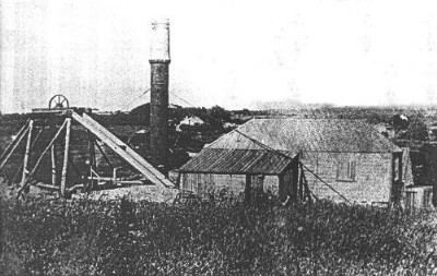
Historic Photographs Of Silverwell+East Downs.
(1 photo)
Last updated September 29th 2010 by
Lister

Photographs Of Silverwell+East Downs.
(0 photos)
Last updated July 29th 2010 by
Butties
Google Earth Map of Silverwell & East Downs Mixed Mine
Other location/mapping information:
Latitude: 50.2952
Longitude: -5.16046
Landranger grid reference: SW750487
Easting: 175000
Northing: 048700