Shackleton Coal Colliery (United Kingdom)
Information, history photographs (current and archive) and documents for Shackleton Coal Colliery.
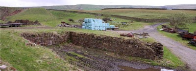
Photos of Shackleton Coal Colliery
Photographs Of Shackleton
(1 photo)
Last updated March 25th 2013 by
tarboat

Historic Photographs Of Shackleton
(0 photos)
Last updated November 30th 2011 by
bchasd
Google Earth Map of Shackleton Coal Colliery
Other location/mapping information:
Latitude: 53.6932184375909
Longitude: -2.15448891759039
Landranger grid reference: SD898219
Easting: 389800
Northing: 421900