Schofield Hall Coal Colliery (United Kingdom)
Information, history photographs (current and archive) and documents for Schofield Hall Coal Colliery.
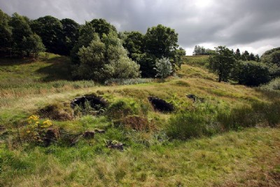
Photos of Schofield Hall Coal Colliery
Photographs Of Schofield Hall
(2 photos)
Last updated March 25th 2013 by
tarboat

Historic Photographs Of Schofield Hall
(0 photos)
Last updated March 25th 2013 by
tarboat
Google Earth Map of Schofield Hall Coal Colliery
Other location/mapping information:
Latitude: 53.625870000929
Longitude: -2.08317014239865
Landranger grid reference: SD945144
Easting: 394500
Northing: 414400