Sallet Hole No1 Adit Mixed Mine (United Kingdom)
Information, history photographs (current and archive) and documents for Sallet Hole No1 Adit Mixed Mine.
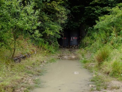
Photos of Sallet Hole No1 Adit Mixed Mine
Photographs Of Sallet Hole No1 Adit
(15 photos)
Last updated December 21st 2020 by
Outdoor Miner

Historic Photographs Of Sallet Hole No1 Adit
(0 photos)
Last updated July 14th 2008 by
Guest
Google Earth Map of Sallet Hole No1 Adit Mixed Mine
Other location/mapping information:
Latitude: 53.2634
Longitude: -1.67314
Landranger grid reference: SK219741
Easting: 421900
Northing: 374100