Sacriston Coal Colliery (United Kingdom)
Information, history photographs (current and archive) and documents for Sacriston Coal Colliery.
Photos of Sacriston Coal Colliery
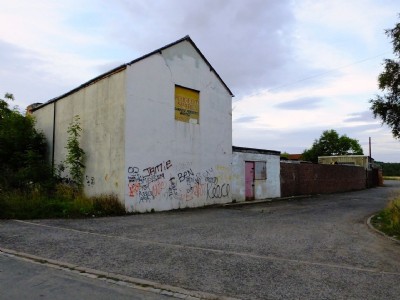
Sacriston Colliery Visit
(7 photos)
Last updated August 30th 2013 by
ICLOK
Photographs Of Sacriston
(3 photos)
Last updated June 27th 2012 by
LeeW

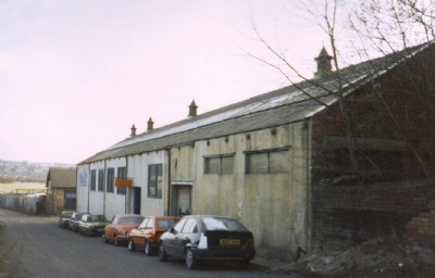
Historic Photographs Of Sacriston
(3 photos)
Last updated February 24th 2011 by
rodel
Google Earth Map of Sacriston Coal Colliery
Other location/mapping information:
Latitude: 54.8245
Longitude: -1.63732
Landranger grid reference: NZ234478
Easting: 423400
Northing: 547800