Robin Hood Deep Pit Iron Mine (United Kingdom)
Information, history photographs (current and archive) and documents for Robin Hood Deep Pit Iron Mine.
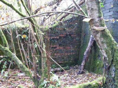
Photos of Robin Hood Deep Pit Iron Mine
Photographs Of Robin Hood Deep Pit
(13 photos)
Last updated November 11th 2012 by
lipsi

Historic Photographs Of Robin Hood Deep Pit
(0 photos)
Last updated July 7th 2008 by
ICLOK
Google Earth Map of Robin Hood Deep Pit Iron Mine
Other location/mapping information:
Latitude: 51.8031
Longitude: -2.64097
Landranger grid reference: SO559118
Easting: 355900
Northing: 211800