Railway Pit (Railway Drift) Coal Colliery (United Kingdom)
Information, history photographs (current and archive) and documents for Railway Pit Coal Colliery.
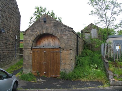
Photos of Railway Pit Coal Colliery
Photographs Of Railway Pit
(3 photos)
Last updated June 14th 2015 by
tarboat

Historic Photographs Of Railway Pit
(0 photos)
Last updated June 14th 2015 by
tarboat
Google Earth Map of Railway Pit Coal Colliery
Other location/mapping information:
Latitude: 53.7641648169591
Longitude: -2.20026374188192
Landranger grid reference: SD868298
Easting: 386800
Northing: 429800