Princess Of Wales Mixed Mine (United Kingdom)
Parish: CALL'GTON
Data courtesy of Roy Fellows and Roy Morton
Photos of Princess Of Wales Mixed Mine
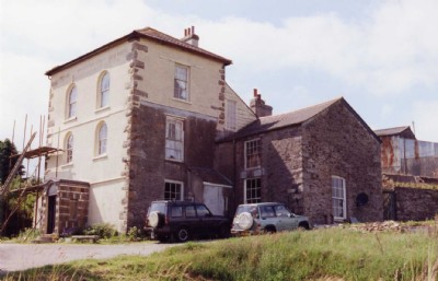
Photographs Of Princess Of Wales
(3 photos)
Last updated October 15th 2008 by
ICLOK

Historic Photographs Of Princess Of Wales
(0 photos)
Last updated December 31st 2007 by
royfellows
Google Earth Map of Princess Of Wales Mixed Mine
Other location/mapping information:
Latitude: 50.5108
Longitude: -4.29039
Landranger grid reference: SX377704
Easting: 237700
Northing: 070400