Pontesford Snailbeach Lead Smelter (United Kingdom)
Now a disused milking parlour on the opposite side of the lane from Pontesford White Grits Smelter
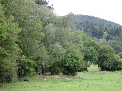
Photos of Pontesford Snailbeach Lead Smelter

Historic Photographs Of Pontesford Snailbeach
(0 photos)
Last updated August 2nd 2011 by
ICLOK
Photographs Of Pontesford Snailbeach
(12 photos)
Last updated August 2nd 2011 by
ICLOK
Google Earth Map of Pontesford Snailbeach Lead Smelter
Other location/mapping information:
Latitude: 52.6499486643798
Longitude: -2.87516116640208
Landranger grid reference: SJ408062
Easting: 340800
Northing: 306200