Plantation Mine (Harveys Foundry Workings) Manganese Mine (United Kingdom)
An underground raised beach deposit extracted via a tunnel driven into Plantation Hill at the rear of the site of Harvey's Foundry.
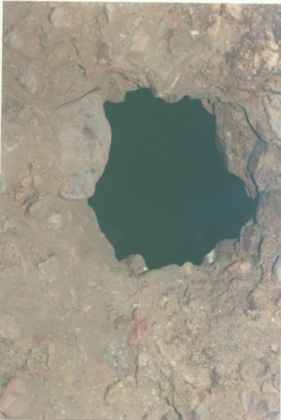
Photos of Plantation Mine Manganese Mine
Photographs Of Plantation Mine
(10 photos)
Last updated February 13th 2017 by
wheal

Historic Photographs Of Plantation Mine
(0 photos)
Last updated February 13th 2017 by
wheal
Google Earth Map of Plantation Mine Manganese Mine
Other location/mapping information:
Latitude: 50.1827949336169
Longitude: -5.42390327390296
Landranger grid reference: SW556371
Easting: 155600
Northing: 037100