Pentremawr Colliery Coal Mine (United Kingdom)
Information, history photographs (current and archive) and documents for Pentremawr Colliery Coal Mine.
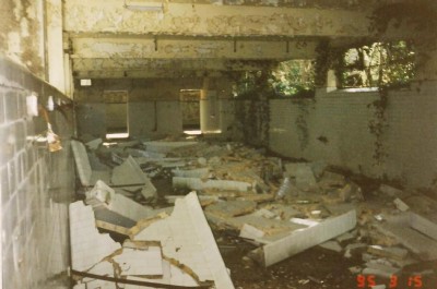
Photos of Pentremawr Colliery Coal Mine
Historic Photographs Of Pentremawr Colliery
(4 photos)
Last updated August 17th 2011 by
LeeW

Photographs Of Pentremawr Colliery
(0 photos)
Last updated February 3rd 2009 by
ICLOK
Google Earth Map of Pentremawr Colliery Coal Mine
Other location/mapping information:
Latitude: 51.771
Longitude: -4.18696
Landranger grid reference: SN492103
Easting: 249200
Northing: 210300