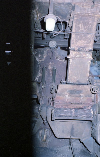
Parsonage Pit Coal Mine (United Kingdom)
Leigh, Lancashire
Supposedly the deepest shaft in Lancashire
Photos of Parsonage Pit Coal Mine
Historic Photographs Of Parsonage Pit
(54 photos)
Last updated October 29th 2015 by
christwigg

Photographs Of Parsonage Pit
(0 photos)
Last updated July 9th 2007 by
grahami
Google Earth Map of Parsonage Pit Coal Mine
Other location/mapping information:
Latitude: 53.5
Longitude: -2.52759
Landranger grid reference: SD651005
Easting: 365100
Northing: 400500