Parkfield Pit Coal Mine (United Kingdom)
Information, history photographs (current and archive) and documents for Parkfield Pit Coal Mine.
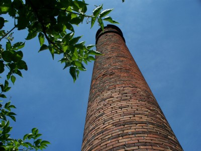
Photos of Parkfield Pit Coal Mine
Photographs Of Parkfield Pit
(3 photos)
Last updated December 12th 2010 by
Plevsky

Historic Photographs Of Parkfield Pit
(0 photos)
Last updated December 29th 2008 by
ICLOK
Google Earth Map of Parkfield Pit Coal Mine
Other location/mapping information:
Latitude: 51.4983
Longitude: -2.44941
Landranger grid reference: ST689778
Easting: 368900
Northing: 177800