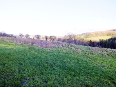
Parkers Shaft Lead Mine (United Kingdom)
This engine shaft is located along the junction of Sutton Vein and Birchover Vein.
The shaft location is approx SK 2297 6391
Photos of Parkers Shaft Lead Mine
Photographs Of Parkers Shaft
(6 photos)
Last updated January 15th 2014 by
LeeW

Historic Photographs Of Parkers Shaft
(0 photos)
Last updated January 15th 2014 by
LeeW
Google Earth Map of Parkers Shaft Lead Mine
Other location/mapping information:
Latitude: 53.1714263620554
Longitude: -1.65588286683467
Landranger grid reference: SK230639
Easting: 423000
Northing: 363900