Parkend Main Colliery Coal Mine (United Kingdom)
Information, history photographs (current and archive) and documents for Parkend Main Colliery Coal Mine.
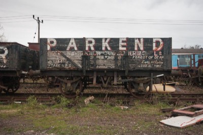
Photos of Parkend Main Colliery Coal Mine
Photographs Of Parkend Main Colliery
(1 photo)
Last updated May 6th 2016 by
Cuban Bloodhound

Historic Photographs Of Parkend Main Colliery
(0 photos)
Last updated October 13th 2008 by
ICLOK
Google Earth Map of Parkend Main Colliery Coal Mine
Other location/mapping information:
Latitude: 51.7523
Longitude: -2.55478
Landranger grid reference: SO618061
Easting: 361800
Northing: 206100