Oxcroft No1 Colliery Coal Mine (United Kingdom)
Information, history photographs (current and archive) and documents for Oxcroft No1 Colliery Coal Mine.
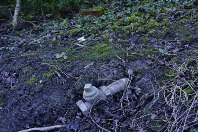
Photos of Oxcroft No1 Colliery Coal Mine
Photographs Of Oxcroft No1 Colliery
(13 photos)
Last updated February 11th 2016 by
steverobb16

Historic Photographs Of Oxcroft No1 Colliery
(0 photos)
Last updated August 1st 2009 by
ICLOK
Google Earth Map of Oxcroft No1 Colliery Coal Mine
Other location/mapping information:
Latitude: 53.2537
Longitude: -1.2925
Landranger grid reference: SK473732
Easting: 447300
Northing: 373200