Old Gells Sough Lead Mine (United Kingdom)
Information, history photographs (current and archive) and documents for Old Gells Sough Lead Mine.
Photos of Old Gells Sough Lead Mine
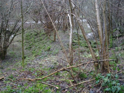
Photographs Of Old Gells Sough
(1 photo)
Last updated February 17th 2011 by
mikehiggins

Historic Photographs Of Old Gells Sough
(0 photos)
Last updated February 17th 2011 by
mikehiggins
Google Earth Map of Old Gells Sough Lead Mine
Other location/mapping information:
Latitude: 53.1059
Longitude: -1.59965
Landranger grid reference: SK269566
Easting: 426900
Northing: 356600