Notbury (Knotbury) Coal Colliery (United Kingdom)
Described in Farey as being west of the houses and 1 mile to the Northwest of Flash. Surface evidence suggests unrecorded shafts on the outcrop of Axe Edge Seam around SK015683
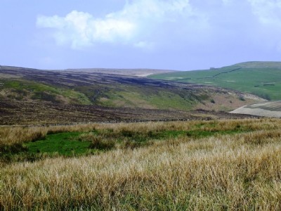
Photos of Notbury (Knotbury) Coal Colliery
Photographs Of Notbury (Knotbury)
(8 photos)
Last updated May 2nd 2014 by
LeeW

Historic Photographs Of Notbury (Knotbury)
(0 photos)
Last updated April 29th 2014 by
LeeW
Google Earth Map of Notbury (Knotbury) Coal Colliery
Other location/mapping information:
Latitude: 53.2114769360359
Longitude: -1.97753669316432
Landranger grid reference: SK015683
Easting: 401500
Northing: 368300