North Treskerby Mixed Mine (United Kingdom)
Parish: ST.AGNES
Data courtesy of Roy Fellows and Roy Morton.
72320/45125.
Photos of North Treskerby Mixed Mine
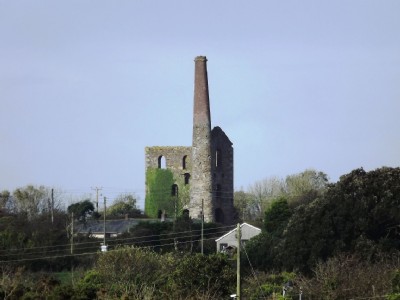
Photographs Of Treskerby North
(10 photos)
Last updated April 7th 2017 by
Scoggan

Historic Photographs Of Treskerby North
(0 photos)
Last updated December 31st 2007 by
royfellows
Google Earth Map of North Treskerby Mixed Mine
Other location/mapping information:
Latitude: 50.2619
Longitude: -5.19614
Landranger grid reference: SW723451
Easting: 172300
Northing: 045100