North Hallenbeagle Mixed Mine (United Kingdom)
Parish: ST.AGNES
Data courtesy of Roy Fellows and Roy Morton
Photos of North Hallenbeagle Mixed Mine
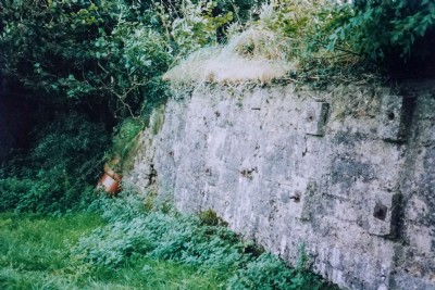
Photographs Of Hallenbeagle North
(2 photos)
Last updated December 31st 2020 by
tracyclimber

Historic Photographs Of Hallenbeagle North
(0 photos)
Last updated December 31st 2007 by
royfellows
Google Earth Map of North Hallenbeagle Mixed Mine
Other location/mapping information:
Latitude: 50.2633
Longitude: -5.21166
Landranger grid reference: SW712453
Easting: 171200
Northing: 045300