Newbridge Furnace Iron Smelter (United Kingdom)
Photos of Newbridge Furnace Iron Smelter
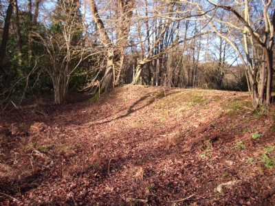
Photographs Of Newbridge Furnace
(1 photo)
Last updated January 10th 2011 by
Peter Burgess

Historic Photographs Of Newbridge Furnace
(0 photos)
Last updated March 7th 2009 by
Peter Burgess
Google Earth Map of Newbridge Furnace Iron Smelter
Other location/mapping information:
Latitude: 51.0734
Longitude: 0.0769095
Landranger grid reference: TQ456325
Easting: 545600
Northing: 132500