New Wheal Chiverton Consols Mixed Mine (United Kingdom)
Parish: PERRANZABULOE
Data courtesy of Roy Fellows and Roy Morton
Photos of New Wheal Chiverton Consols Mixed Mine
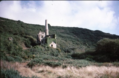
Photographs Of Chiverton New (Consols.)
(11 photos)
Last updated January 20th 2017 by
ICLOK

Historic Photographs Of Chiverton New (Consols.)
(0 photos)
Last updated December 31st 2007 by
royfellows
Google Earth Map of New Wheal Chiverton Consols Mixed Mine
Other location/mapping information:
Latitude: 50.3338
Longitude: -5.1321
Landranger grid reference: SW772529
Easting: 177200
Northing: 052900