Nentforce Level Lead Mine (United Kingdom)
Man made under ground canal 5 miles long runs from Alston to Nenthead in cumbria
Photos of Nentforce Level Lead Mine
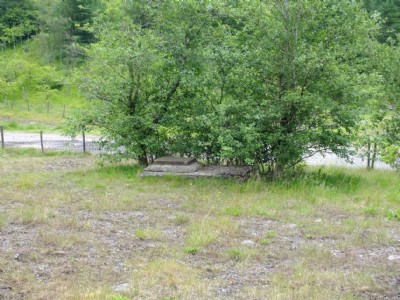
Photographs Of Nentforce Level
(7 photos)
Last updated November 18th 2019 by
allanr
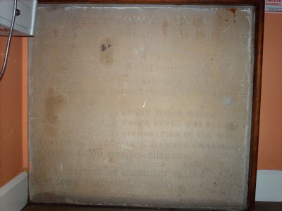
Historic Photographs Of Nentforce Level
(1 photo)
Last updated September 23rd 2012 by
christwigg
Google Earth Map of Nentforce Level Lead Mine
Other location/mapping information:
Latitude: 54.8144
Longitude: -2.43878
Landranger grid reference: NY719467
Easting: 371900
Northing: 546700