Nantpistyll Gwyn Slate Mine (United Kingdom)
Information, history photographs (current and archive) and documents for Nantpistyll Gwyn Slate Mine.
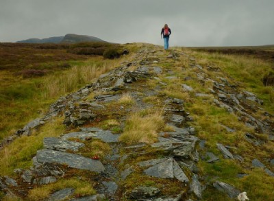
Photos of Nantpistyll Gwyn Slate Mine
Photographs Of Nantpistyll Gwyn
(6 photos)
Last updated October 20th 2011 by
Teigl

Historic Photographs Of Nantpistyll Gwyn
(0 photos)
Last updated January 1st 1900 by
simonrl
Google Earth Map of Nantpistyll Gwyn Slate Mine
Other location/mapping information:
Latitude: 52.9725
Longitude: -3.86141
Landranger grid reference: SH751433
Easting: 275100
Northing: 343300