Moulds Low (Arkengarthdale) Lead Smelt Mill (United Kingdom)
Information, history photographs (current and archive) and documents for Moulds Low Lead Smelt Mill.
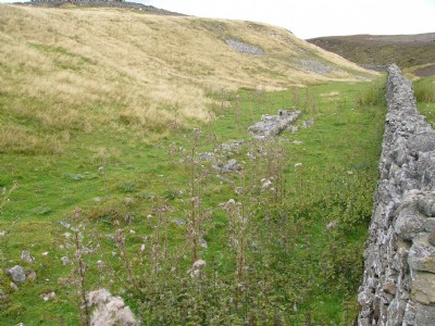
Photos of Moulds Low Lead Smelt Mill
Photographs Of Moulds Low
(3 photos)
Last updated September 20th 2010 by
simonrail

Historic Photographs Of Moulds Low
(0 photos)
Last updated April 21st 2008 by
Jimbo
Google Earth Map of Moulds Low Lead Smelt Mill
Other location/mapping information:
Latitude: 54.3964
Longitude: -2.01383
Landranger grid reference: NY992001
Easting: 399200
Northing: 500100