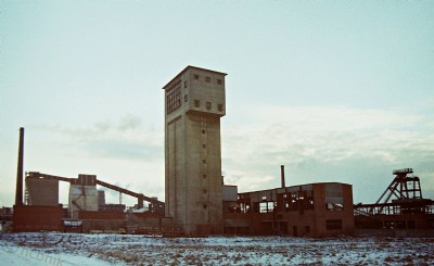
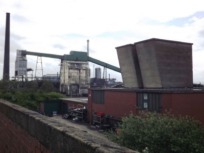
Monckton Main Coal Colliery (United Kingdom)
The earlier part of the mine is on the west side of the road and the later (drift) part was on the east side of the road. The site also has an adjacent coking plant
Photos of Monckton Main Coal Colliery
Historic Photographs Of Monckton Main
(18 photos)
Last updated December 8th 2019 by
BigE
Photographs Of Monckton Main
(20 photos)
Last updated December 9th 2012 by
wheldale
Google Earth Map of Monckton Main Coal Colliery
Other location/mapping information:
Latitude: 53.6029753831116
Longitude: -1.43172348887526
Landranger grid reference: SE376120
Easting: 437600
Northing: 412000