Moelygwartheg Slate Mine (United Kingdom)
Information, history photographs (current and archive) and documents for Moelygwartheg Slate Mine.
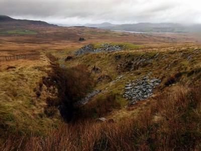
Photos of Moelygwartheg Slate Mine
Photographs Of Moelygwartheg
(2 photos)
Last updated December 5th 2011 by
Teigl

Historic Photographs Of Moelygwartheg
(0 photos)
Last updated January 1st 1900 by
simonrl
Google Earth Map of Moelygwartheg Slate Mine
Other location/mapping information:
Latitude: 52.8693
Longitude: -3.96099
Landranger grid reference: SH681320
Easting: 268100
Northing: 332000