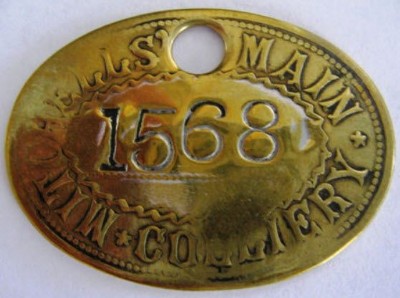
Mitchells' Main (Wombwell) Coal Colliery (United Kingdom)
Located between the Dearne & Dove Canal and the South Yorkshire Railway west of Wombwell near Aldham Bridge. The site is now Mitchell Industrial park.
Photos of Mitchells' Main (Wombwell) Coal Colliery
Historic Photographs Of Mitchells' Main (Wombwell)
(1 photo)
Last updated August 17th 2013 by
skiprat

Photographs Of Mitchells' Main (Wombwell)
(0 photos)
Last updated August 17th 2013 by
skiprat
Google Earth Map of Mitchells' Main (Wombwell) Coal Colliery
Other location/mapping information:
Latitude: 53.5318459651675
Longitude: -1.40853453406153
Landranger grid reference: SE392041
Easting: 439200
Northing: 404100