Mill (Crofton) Pit (Crofton) Coal Mine (United Kingdom)
Information, history photographs (current and archive) and documents for Mill (Crofton) Pit Coal Mine.
Photos of Mill (Crofton) Pit Coal Mine
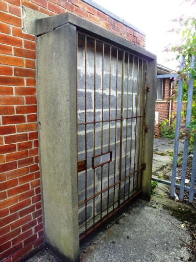
Crofton Mill Pit Visit
(13 photos)
Last updated August 29th 2013 by
ICLOK
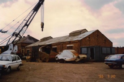
Historic Photographs Of Mill Pit
(3 photos)
Last updated October 6th 2011 by
LeeW

Photographs Of Mill Pit
(0 photos)
Last updated August 14th 2007 by
LeeW
Google Earth Map of Mill (Crofton) Pit Coal Mine
Other location/mapping information:
Latitude: 55.1214186394259
Longitude: -1.50445965482514
Landranger grid reference: NZ316809
Easting: 431600
Northing: 580900