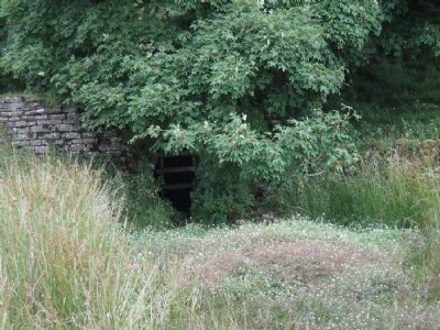
Middlehope Shield (Whites Level) Lead Mine (United Kingdom)
W B Lead Co mine now collapsed close to the entrance.
Photos of Middlehope Shield Lead Mine
Photographs Of Middlehope Shield
(2 photos)
Last updated October 23rd 2013 by
rodel

Historic Photographs Of Middlehope Shield
(1 photo)
Last updated September 15th 2010 by
rodel
Google Earth Map of Middlehope Shield Lead Mine
Other location/mapping information:
Latitude: 54.7531
Longitude: -2.14757
Landranger grid reference: NY906398
Easting: 390600
Northing: 539800