Mendip Colliery Coal Mine (United Kingdom)
Information, history photographs (current and archive) and documents for Mendip Colliery Coal Mine.
Photos of Mendip Colliery Coal Mine
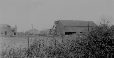
Historic Photographs Of Mendip Colliery
(1 photo)
Last updated February 3rd 2013 by
tarboat

Photographs Of Mendip Colliery
(0 photos)
Last updated January 24th 2009 by
ICLOK
Google Earth Map of Mendip Colliery Coal Mine
Other location/mapping information:
Latitude: 51.2419
Longitude: -2.48701
Landranger grid reference: ST661493
Easting: 366100
Northing: 149300