Meadowfoot Level Lead Mine (United Kingdom)
Information, history photographs (current and archive) and documents for Meadowfoot Level Lead Mine.
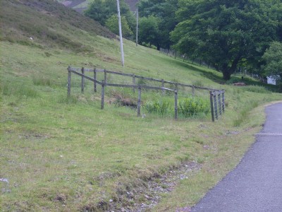
Photos of Meadowfoot Level Lead Mine
Photographs Of Meadowfoot Level
(4 photos)
Last updated January 19th 2011 by
LeeW

Historic Photographs Of Meadowfoot Level
(0 photos)
Last updated July 9th 2010 by
LeeW
Google Earth Map of Meadowfoot Level Lead Mine
Other location/mapping information:
Latitude: 55.4049
Longitude: -3.80032
Landranger grid reference: NS861138
Easting: 286100
Northing: 613800