Mauldslie No 7 Coal Mine (United Kingdom)
Andrew Maxwell and Co 1955 - c1968
Photos of Mauldslie No 7 Coal Mine
Historic Photographs Of Mauldslie No 7
(1 photo)
Last updated May 8th 2012 by
Lister

Photographs Of Mauldslie No 7
(0 photos)
Last updated December 5th 2009 by
ICLOK
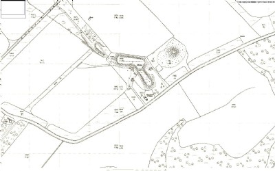
Google Earth Map of Mauldslie No 7 Coal Mine
Other location/mapping information:
Latitude: 55.7363
Longitude: -3.87449
Landranger grid reference: NS824508
Easting: 282400
Northing: 650800