Maryland Shaft No. 2, Coal Mine (United States)
Information, history photographs (current and archive) and documents for Maryland Shaft No. 2, Coal Mine.
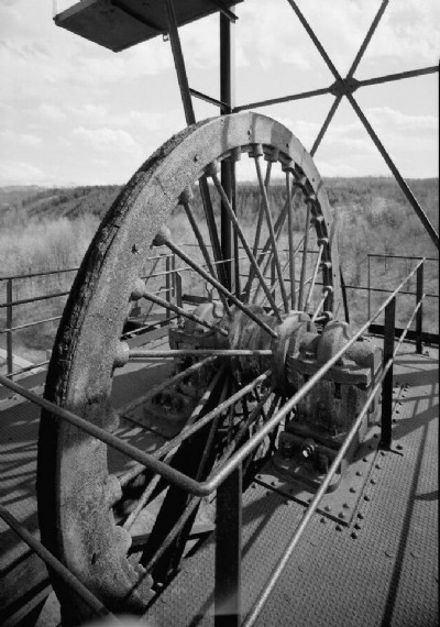
Photos of Maryland Shaft No. 2, Coal Mine
Historic Photographs Of Maryland Shaft No. 2,
(4 photos)
Last updated November 10th 2009 by
carnkie

Photographs Of Maryland Shaft No. 2,
(0 photos)
Last updated November 10th 2009 by
carnkie
Google Earth Map of Maryland Shaft No. 2, Coal Mine
Other location/mapping information:
Latitude: 40.3934
Longitude: -78.7014