Mary Colliery Coal Mine (United Kingdom)
Information, history photographs (current and archive) and documents for Mary Colliery Coal Mine.
Photos of Mary Colliery Coal Mine

Photographs Of Mary Colliery
(1 photo)
Last updated June 24th 2013 by
Cuban Bloodhound
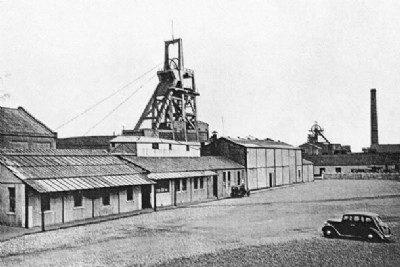
Historic Photographs Of Mary Colliery
(1 photo)
Last updated January 16th 2009 by
ICLOK
Google Earth Map of Mary Colliery Coal Mine
Other location/mapping information:
Latitude: 56.1244
Longitude: -3.32705
Landranger grid reference: NT176932
Easting: 317600
Northing: 693200