Marrick High (Marrick Low) Lead Smelt Mill (United Kingdom)
Information, history photographs (current and archive) and documents for Marrick High Lead Smelt Mill.
Photos of Marrick High Lead Smelt Mill

Historic Photographs Of Marrick High
(0 photos)
Last updated May 7th 2019 by
christwigg
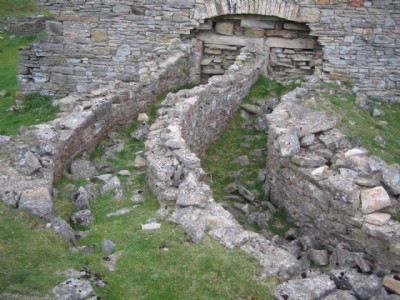
Photographs Of Marrick High
(4 photos)
Last updated August 4th 2014 by
Roddger
Google Earth Map of Marrick High Lead Smelt Mill
Other location/mapping information:
Latitude: 54.3909
Longitude: -1.88139
Landranger grid reference: SE078995
Easting: 407800
Northing: 499500