Magclough Sough Lead Tunnel (United Kingdom)
Information, history photographs (current and archive) and documents for Magclough Sough Lead Tunnel.
Photos of Magclough Sough Lead Tunnel
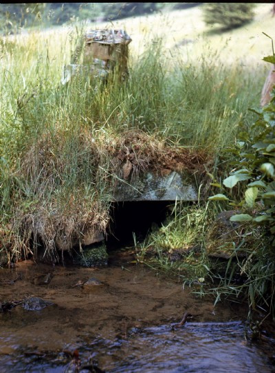
Photographs Of Magclough Sough
(1 photo)
Last updated June 20th 2016 by
Dickie Bird

Historic Photographs Of Magclough Sough
(0 photos)
Last updated March 13th 2009 by
ICLOK
Google Earth Map of Magclough Sough Lead Tunnel
Other location/mapping information:
Latitude: 53.2589
Longitude: -1.64919
Landranger grid reference: SK235736
Easting: 423500
Northing: 373600