Lower Old Foxdale Lead Mine (United Kingdom)
grid reference is a general one for the foxdale mine's i will work on getting a better one when i have the time and can find the maps for this area
Photos of Lower Old Foxdale Lead Mine
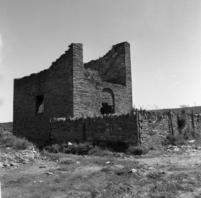
Historic Photographs Of Lower Old Foxdale
(3 photos)
Last updated January 11th 2015 by
Dickie Bird
Google Earth Map of Lower Old Foxdale Lead Mine
Other location/mapping information:
Latitude: 54.1839
Longitude: -4.60972
Landranger grid reference: SC298796
Easting: 229800
Northing: 479600