Lower (New) Birchwood (Victoria & Balguy Pit) Coal Colliery (United Kingdom)
Information, history photographs (current and archive) and documents for Lower (New) Birchwood Coal Colliery.
Photos of Lower (New) Birchwood Coal Colliery

Historic Photographs Of Lower (New) Birchwood
(0 photos)
Last updated September 13th 2013 by
somercotes
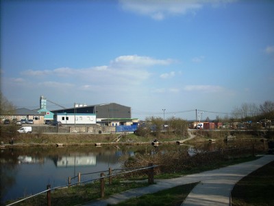
Photographs Of Lower (New) Birchwood
(2 photos)
Last updated March 23rd 2011 by
LeeW
Google Earth Map of Lower (New) Birchwood Coal Colliery
Other location/mapping information:
Latitude: 53.0851
Longitude: -1.35947
Landranger grid reference: SK430544
Easting: 443000
Northing: 354400