Lower Birchwood (Shady Pit) Coal Colliery (United Kingdom)
Information, history photographs (current and archive) and documents for Lower Birchwood (Shady Pit) Coal Colliery.
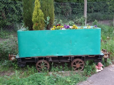
Photos of Lower Birchwood (Shady Pit) Coal Colliery
Photographs Of Lower Birchwood Colliery
(20 photos)
Last updated March 25th 2011 by
LeeW

Historic Photographs Of Lower Birchwood Colliery
(0 photos)
Last updated March 10th 2009 by
ICLOK
Google Earth Map of Lower Birchwood (Shady Pit) Coal Colliery
Other location/mapping information:
Latitude: 53.082964225756
Longitude: -1.35348829745935
Landranger grid reference: SK433542
Easting: 443300
Northing: 354200