Little North Downs Mixed Mine (United Kingdom)
Parish: REDRUTH
Data courtesy of Roy Fellows and Roy Morton
Photos of Little North Downs Mixed Mine
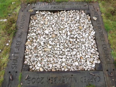
Photographs Of North Downs (Llttle)
(1 photo)
Last updated November 4th 2011 by
LeeW

Historic Photographs Of North Downs (Llttle)
(0 photos)
Last updated December 31st 2007 by
royfellows
Google Earth Map of Little North Downs Mixed Mine
Other location/mapping information:
Latitude: 50.2558
Longitude: -5.22098
Landranger grid reference: SW705445
Easting: 170500
Northing: 044500