Lathkill Dale Black Marble Limestone Mine (United Kingdom)
Information, history photographs (current and archive) and documents for Lathkill Dale Black Marble Limestone Mine.
Photos of Lathkill Dale Black Marble Limestone Mine
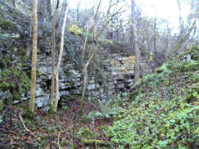
Photographs Of Lathkill Dale Black Marble
(1 photo)
Last updated November 10th 2012 by
LeeW

Historic Photographs Of Lathkill Dale Black Marble
(0 photos)
Last updated August 14th 2007 by
LeeW
Google Earth Map of Lathkill Dale Black Marble Limestone Mine
Other location/mapping information:
Latitude: 53.189
Longitude: -1.7201
Landranger grid reference: SK188658
Easting: 418800
Northing: 365800