Klondyke Lead Smelt Mill (United Kingdom)
Information, history photographs (current and archive) and documents for Klondyke Lead Smelt Mill.
Photos of Klondyke Lead Smelt Mill

Photographs Of Klondyke
(12 photos)
Last updated September 2nd 2019 by
TwllMawr
Historic Photographs Of Klondyke
(1 photo)
Last updated March 18th 2012 by
Lister
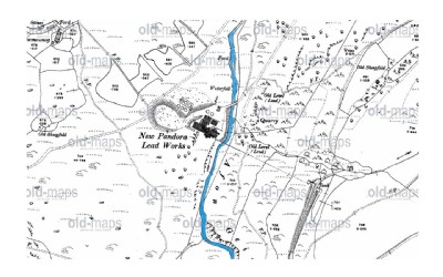
Google Earth Map of Klondyke Lead Smelt Mill
Other location/mapping information:
Latitude: 53.1419088288084
Longitude: -3.84777628169401
Landranger grid reference: SH764621
Easting: 276400
Northing: 362100