Kingfield Pit Coal Mine (United Kingdom)
Information, history photographs (current and archive) and documents for Kingfield Pit Coal Mine.
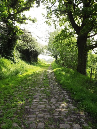
Photos of Kingfield Pit Coal Mine
Photographs Of Kingfield Pit
(6 photos)
Last updated June 4th 2012 by
LeeW

Historic Photographs Of Kingfield Pit
(0 photos)
Last updated August 16th 2011 by
LeeW
Google Earth Map of Kingfield Pit Coal Mine
Other location/mapping information:
Latitude: 53.3346006601463
Longitude: -2.09611923416359
Landranger grid reference: SJ936820
Easting: 393600
Northing: 382000