Jug Holes Fluorite Mine (United Kingdom)
Worked for lead and latterly Spar.
This mine appears as an open cavern on the Noon Nick vein and may have been worked as far back as 1629. At the back of the opening are a series of fluorspar workings.
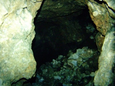
Photos of Jug Holes Fluorite Mine
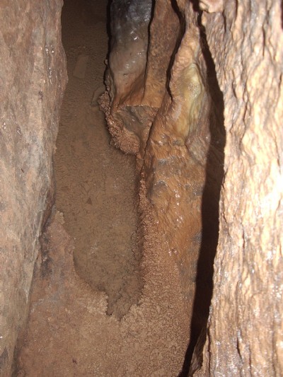
Photographs Of Jug Holes
(29 photos)
Last updated May 12th 2018 by
Paul Marvin
Historic Photographs Of Jug Holes
(5 photos)
Last updated April 27th 2009 by
ICLOK
Google Earth Map of Jug Holes Fluorite Mine
Other location/mapping information:
Latitude: 53.1328
Longitude: -1.58445
Landranger grid reference: SK279596
Easting: 427900
Northing: 359600