Jeffrey's Lead Smelt Mill (United Kingdom)
Mill built to serve Jeffrey's mine but later used to serve all the mines in the valley
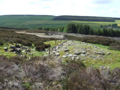
Photos of Jeffrey's Lead Smelt Mill
Photographs Of Jeffrey's
(4 photos)
Last updated August 8th 2013 by
poosticker83
Google Earth Map of Jeffrey's Lead Smelt Mill
Other location/mapping information:
Latitude: 54.8263828588927
Longitude: -2.07218552903272
Landranger grid reference: NY953479
Easting: 395300
Northing: 547900