Independent Level Coal Mine (United Kingdom)
Information, history photographs (current and archive) and documents for Independent Level Coal Mine.
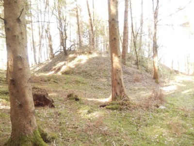
Photos of Independent Level Coal Mine
Photographs Of Independent Level
(6 photos)
Last updated April 21st 2016 by
lipsi

Historic Photographs Of Independent Level
(0 photos)
Last updated October 13th 2008 by
ICLOK
Google Earth Map of Independent Level Coal Mine
Other location/mapping information:
Latitude: 51.7541
Longitude: -2.55335
Landranger grid reference: SO619063
Easting: 361900
Northing: 206300