Howbeach Colliery Coal Mine (United Kingdom)
Information, history photographs (current and archive) and documents for Howbeach Colliery Coal Mine.
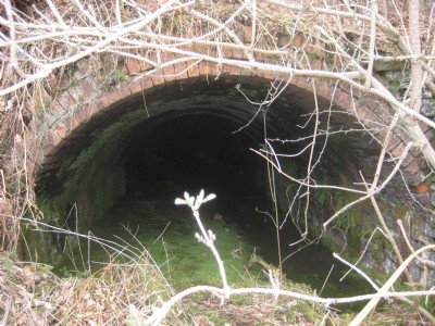
Photos of Howbeach Colliery Coal Mine
Historic Photographs Of Howbeach Colliery
(3 photos)
Last updated April 15th 2013 by
Exocetmissile

Photographs Of Howbeach Colliery
(1 photo)
Last updated October 29th 2011 by
lipsi
Google Earth Map of Howbeach Colliery Coal Mine
Other location/mapping information:
Latitude: 51.7767
Longitude: -2.52464
Landranger grid reference: SO639088
Easting: 363900
Northing: 208800