Horse Burrow Mixed Mine (United Kingdom)
Parish: ALTARNUN
Data courtesy of Roy Fellows and Roy Morton
Photos of Horse Burrow Mixed Mine
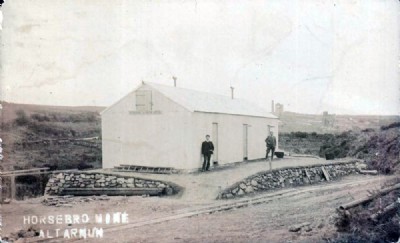
Photographs Of Horse Burrow
(1 photo)
Last updated April 26th 2015 by
zientific

Historic Photographs Of Horse Burrow
(0 photos)
Last updated December 31st 2007 by
royfellows
Google Earth Map of Horse Burrow Mixed Mine
Other location/mapping information:
Latitude: 50.5868
Longitude: -4.53143
Landranger grid reference: SX209794
Easting: 220900
Northing: 079400