Hony & Trelawney Mixed Mine (United Kingdom)
Parish: MENHENIOT
Data courtesy of Roy Fellows and Roy Morton
Photos of Hony & Trelawney Mixed Mine

Historic Photographs Of Hony & Trelawny
(1 photo)
Last updated January 26th 2019 by
Dickie Bird
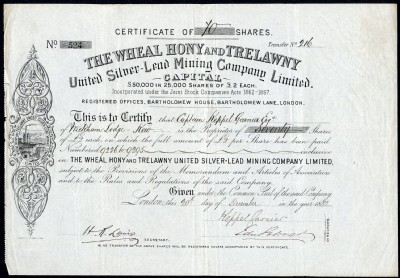
Photographs Of Hony & Trelawny
(1 photo)
Last updated May 5th 2015 by
veissid
Google Earth Map of Hony & Trelawney Mixed Mine
Other location/mapping information:
Latitude: 50.4526
Longitude: -4.41155
Landranger grid reference: SX289642
Easting: 228900
Northing: 064200